Building India's Land Intelligence Stack
Nestor Labs is building India's land intelligence stack: MOYNA standardizes land audits and advisory, NIJI enables transactions on verified land.

MOYNA: Unified Land Verification
MOYNA verifies land titles by unifying khasra records, naksha maps, registration deeds, mutation history, and encumbrance data into a single tamper-proof audit trail. Powered by blockchain, our platform replaces fragmented government checks with one reliable source of truth.

The Evolution of Land Measurement in India
The Mauryan Period: Judgment and Productive Capacity
In the Mauryan period, land measurement was embedded in statecraft rather than geometry. As articulated in the Arthashastra by Kautilya, land was assessed through its productive capacity—soil type, irrigation access, crop cycles, and yield potential—rather than abstract area alone. Measurement was conducted through inspection and classification, supported by written registers that linked land to revenue obligations. The achievement of this era lay in treating land as a living economic system, responsive to climate and cultivation. Trust was institutional, anchored in the authority and continuity of the state.


The Mughal Era: Standardization and Procedural Rigor
This administrative logic reached methodological maturity under the Mughals, most notably through the reforms of Raja Todar Mal in the sixteenth century. Measurement became standardized, field-based, and replicable. Uniform units such as the Ilahi Gaj and tools like the Tenab enabled consistent surveys across regions, while land was systematically classified—irrigated, unirrigated, fallow—and recorded at the parcel level through khasra entries. The innovation was not technological sophistication but procedural rigor: different surveyors could independently arrive at the same result. Measurement became a durable interface between cultivator and state.


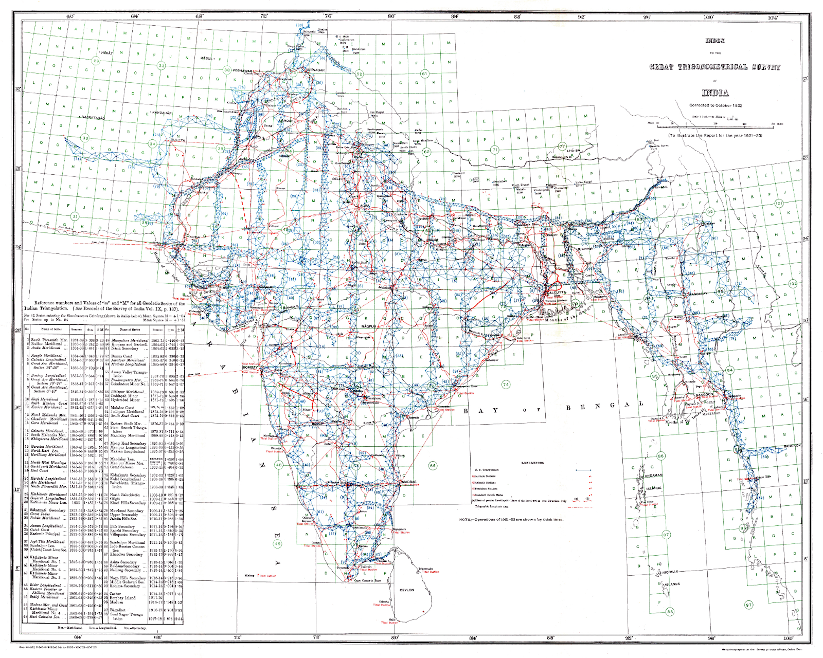
The Colonial Era: Precision and Fragmentation
Under colonial rule, land measurement was reframed as a technical science. Chains, triangulation, and plane-table surveys enabled geometric accuracy at scale, culminating in cadastral maps with fixed boundaries, scales, and coordinates. Institutions such as the Survey of India. Yet this precision introduced fragmentation. Spatial maps, textual registers, and legal titles evolved along parallel tracks, often stored in separate offices. Accuracy increased, but accessibility and coherence declined. The paradox of the era was clear: land was measured more exactly than ever, while understanding ownership and rights became more opaque.

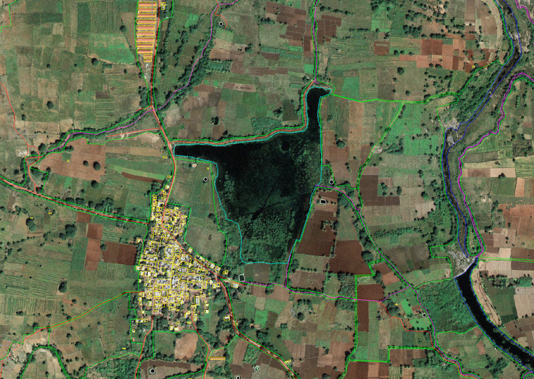
The Contemporary Era: Data Systems and Trust
In the contemporary era, measurement has shifted from lines on paper to data systems. GIS, satellite imagery, drones, and GPS allow land to be represented as coordinates, polygons, and layered attributes. Surveys that once took months can now be completed in hours. Yet modern challenges are less about locating boundaries and more about establishing trust across institutions. Digital accuracy without provenance invites disputes; data without auditability creates risk. The central question today is not "where is the boundary?" but "can this record be independently verified and relied upon?"
Nestor Land Assurance: Continuity and Innovation
Nestor Land Assurance operates at this junction of history and technology. By anchoring verified land attributes to cryptographic proofs, linking authoritative documents, and generating auditable, transaction-ready records, Nestor restores trust as a measurable outcome. What earlier systems achieved through standardized ropes, registers, and procedures is now achieved through immutability, traceability, and controlled access. In continuing this lineage—from judgment, to method, to measurement, to verification—Nestor carries forward a long-standing principle: land systems endure not only because they are precise, but also because they are trusted, comprehensive and transparent.